- Pauliberg
Pauliberg (Schonach,Германия)
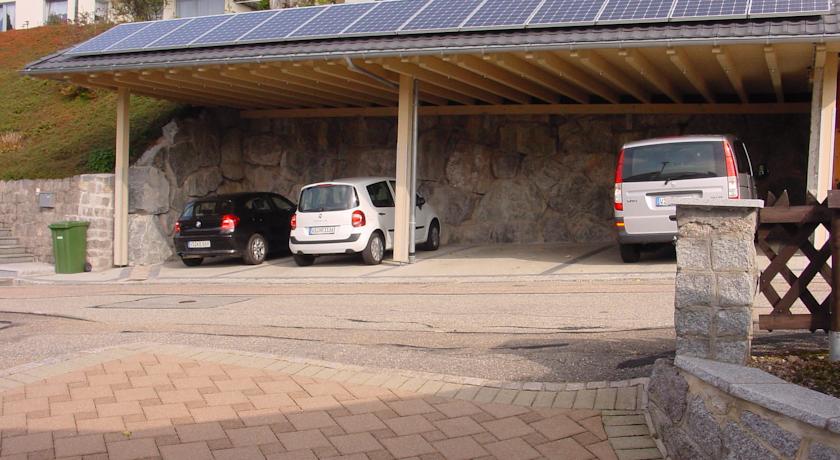
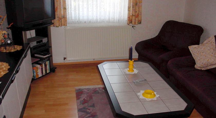
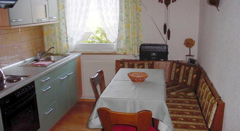
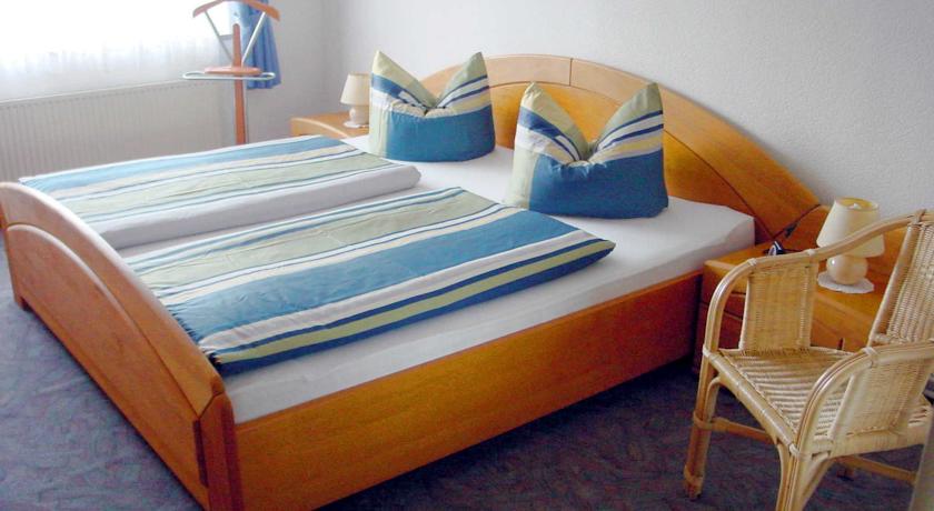
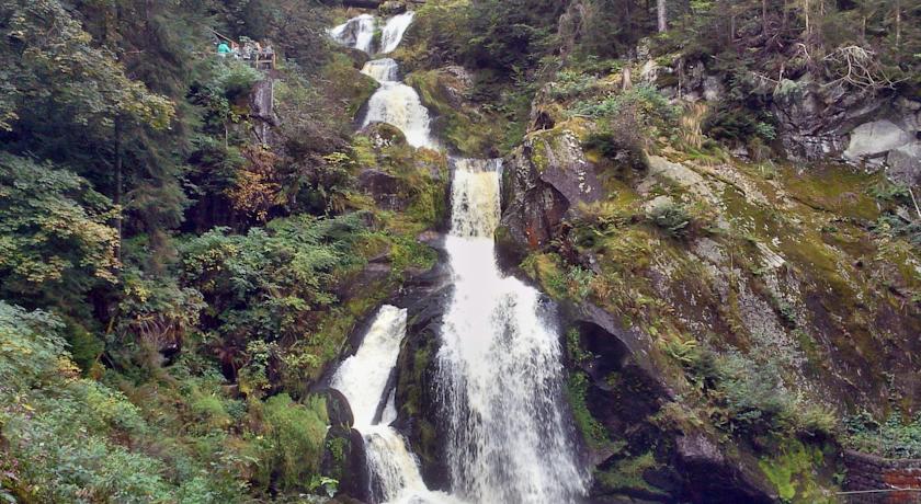
Категория отеля: Адрес: 78136 Schonach, Германия Описание: Haus Pauliberg is in the village of Schonach im Schwarzwald, it has a southern hanging location at the edge of the surrounding mountain landscape. The apartment (55 m) is on garden level, with its own terrace and sunbathing area. You can park your car in the garage, which fits one car, opposite the house. The apartment has central heating and a TV (satellite).The accommodation is suitable for 4 people (2 adults and 2 children), it has 2 bedrooms, a living room, a bathroom and a kitchen with oven and microwave. The house has a patio with garden garden furniture to relax and enjoy the view.Schonach lies in one of the most beautiful valleys of the Black Forest with heights from 800 to 1163 metres. The surrounding areas offer well-marked routes for hikers, Nordic walking or mountain biking. In the winter there are many langlauf slopes but there are also lifts in Schonach and on the Rohrhardsberg for skiers (approx. 4 km). In the vicinity there are various leisure options such as Germanys highest waterfalls in Triberg, the summer toboggan run in Gutach, the Titisee, the Bodensee and the Feldberg, the Black Forests highest mountain (1493 metres). Еда и питье: На свежем воздухе: Парковка: Бесплатно! Бесплатная Частная парковка на месте (предварительный заказ не требуется) . Услуги: Семейные номера, Курение на всей территории объекта размещения запрещено Спорт и отдых: Сервис: Интернет: Доступ в интернет отсутствует. Языки общения: Время заезда/выезда: 16:00 - 18:00 / До 00:00 Домашние животные: Бесплатно! Размещение домашних животных допускается по предварительному запросу. Дополнительная плата не взимается. Банковские карты: americanexpress,visa,euromastercard, Номерной фонд: Апартаменты - вместительность: 4 Координаты: ш. 48.14013 д. 8.21488 на карте
Каталог отелей.